KMA 9x9 | AI

KMA 9x9 | AI

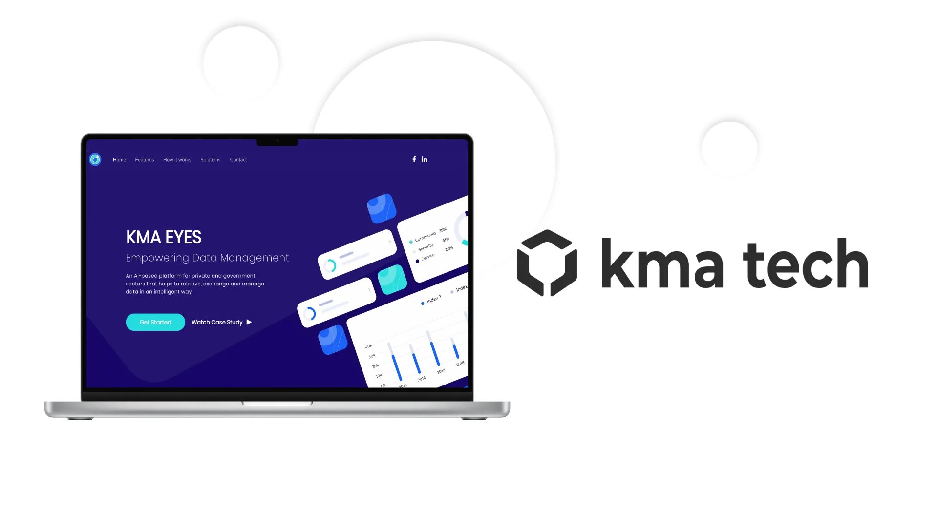
KMA Tech is a technology company that brings game-changing ideas to market. One of their projects allows dividing the airspace into 9x9x9 meter cubes, where every cube holds data coming from various sources: imagery satellites, imagery UAVs, weather satellites, and connected airplanes.


Brief

Technologies move inexorably, and we have to get used to them. It is even better to benefit from every single possibility that the latest technologies bring us. However, it is often difficult to keep up with everything new or deal with the different ways of doing business. Sometimes there are situations when a lot of data accumulates without any capacity for businesses to process it. Or the opposite, when there are no required statistics for the data. KMA Tech solves exactly the problem concerning big data by creating whole ecosystems on the basis of IT innovations.

Solution

For their latest projects, they selected Magora as their main development partner. KMA 9x9 Grid is an ambitious project that divides the world into squares of 9 meters over 9 meters and applies mapping intelligence to associate squares with every piece of data coming from any source. Magora has developed the entire solution using React.js and integrated several sources of data. The first version of the product is already launched, and the development team proceeds with adding new features.


Key app functionality

Core solutions sit inside the data we collect, and for that, we use our latest algorithms, which involve machine learning and artificial intelligence, to detect every happening event, analyze collected data to find relationships, compare results with past datasets, and detect anomalies happening in the airspace. Neural networks are already trained on data coming from the ground, which gives us a big advantage.

 

Result

Finally, we have a working ecosystem with high data protection. Users are able to visualize data and receive AI analytics capable of presenting all information right on the map. The technology allows you to assign a coefficient on top of every scale of the map to work from any distance over the surface. It is possible to work with any map on the market and to set up boundaries on the surface of any shape.

next
Magora IT company project: DayInsure
Transport & Logistics apps, Magora's Top Software Development Cases, Top Mobile Apps
DayInsure

The easiest method to obtain temporary car insurance is to use the Dayinsure app created by Magora and one of the UK’s leading providers of short-term car insurance, the Dayinsure company.

see more
Logo Magora LTD
close
Get in touch
Open list
Open list
Logo Magora LTD
close
Thank you very much.

Your registration to the webinar on the 27th of September at 2 p.m. BST was successfuly completed.
We will send you a reminder on the day before the event.
Magora team
Registration for a webinar

"Let Smart Bots Speed up your Business"
Date: 27.09.2018 Time: 2 p.m. BST
Do you agree to the personal data processing?